IMPORTANT NOTE: We are actively managing
the property. This includes the use of hunters targeting pests...
which sometimes means GUNS, so please check in using the
contacts prior to any visit to ensure no lead is flying when you're
there.
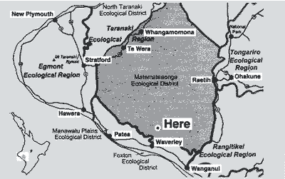
So where is this stunning piece of Aotearoa? The
block is approximately 60km north of Wanganui at the head of the
Maumahaki lake sequence.
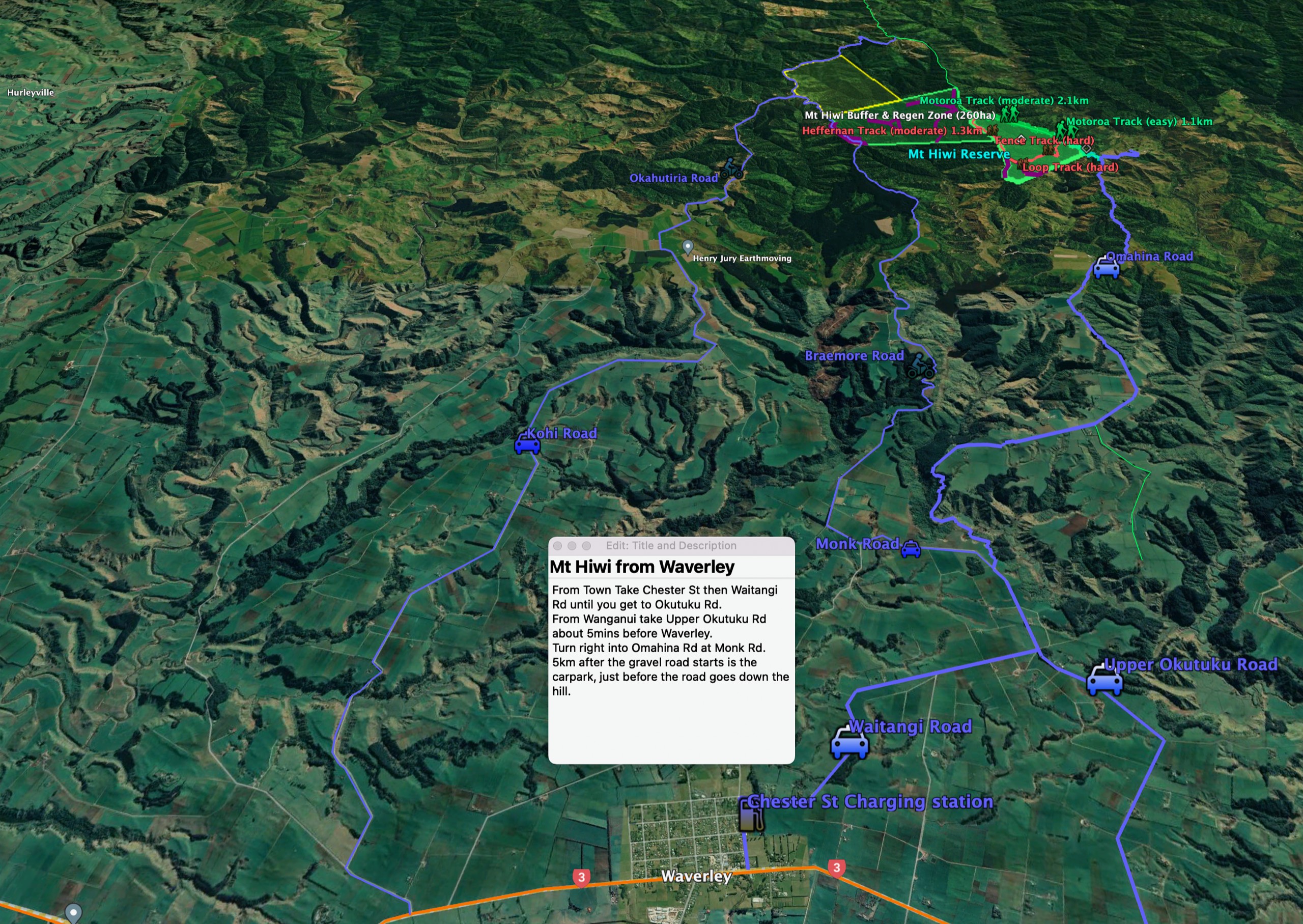
Turn off SH3 at Waverly Post Office, the property
is about 15km inland.
From the turnoff from Monk Road onto Omahina Road, it's almost exactly
12.0km to the road gate (the last 7km or so are unsealed). Once you
get to the gate you still have a few tens of meters to walk along the
paper road (Moturoa Road) before you get onto our land.
Note that the word 'Road' is euphemistic... think more goat track
(sadly literal) than road.
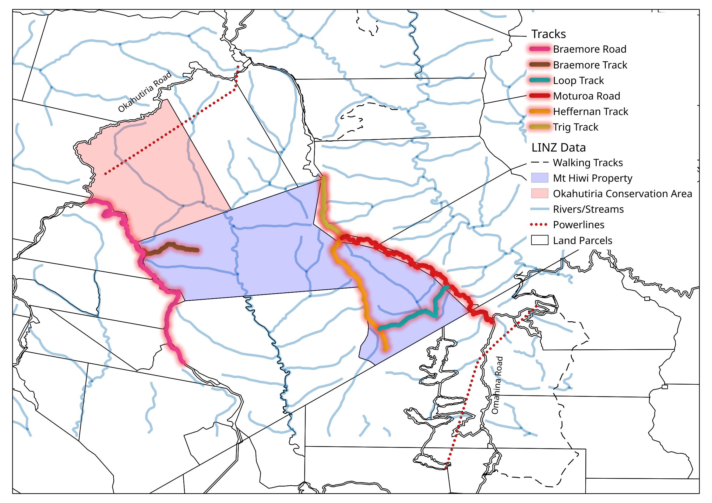
Alternatively, here's a file
for use with Google Earth, that shows significant tracks and
points around our catchment area.
And alternatively to our alternative, if you can't access google
earth, click on this image to see a static version of the important
features.
GPS coordinates to come.
To repeat: please advise us if you are intending
to visit - we have hunters
shooting to keep on top of the mammalian pests, and have no wish to
add humans to that list.
Unfortunately, google doesn't allow us to give a pinpoint to any of the access points. For info, the track to the Omahina Rd entrance is about 1200m from Monk Road.